Survey. |
Measured Building Surveys
|
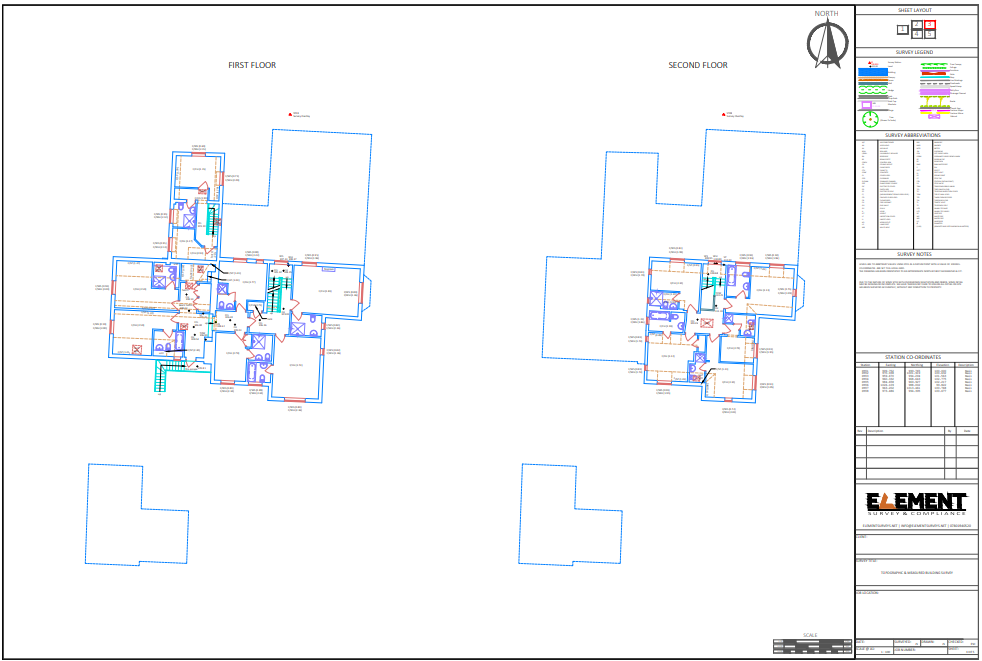
A measured building survey is the collection of measured data to enable the surveyor to be able to produce plans, elevations or sectional drawings of a building. Measured data can be delivered as two-dimensional drawings or three-dimensional “BIM ready” models.
The existing detail of a building may be required for a wide range of purposes, most commonly for refurbishment of the property. A measured survey may also be required for fire evacuation plans or lease plans to define a space. Measured building surveys may also be required for:
|
Topographic Surveys
|
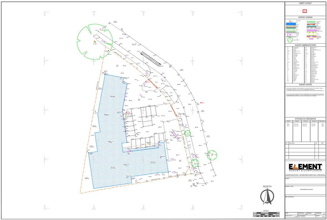
A topographical survey, sometimes referred to as a Land Survey, is the process required to produce an accurate and detailed map identifying both the natural and man-made feature within an area. The collected data may be presented in many formats, from a simple paper plan to a full three-dimensional (3D) digital model, depending on the client’s requirements. Today the most common presentation is as a digital data set which is also plotted out as drawings.
The existing detail of an area may be required for either record or planning purposes. Other information, such as areas and volumes, may be calculated from a survey. Purposes to which a Topographical Survey may be used include:
|


